
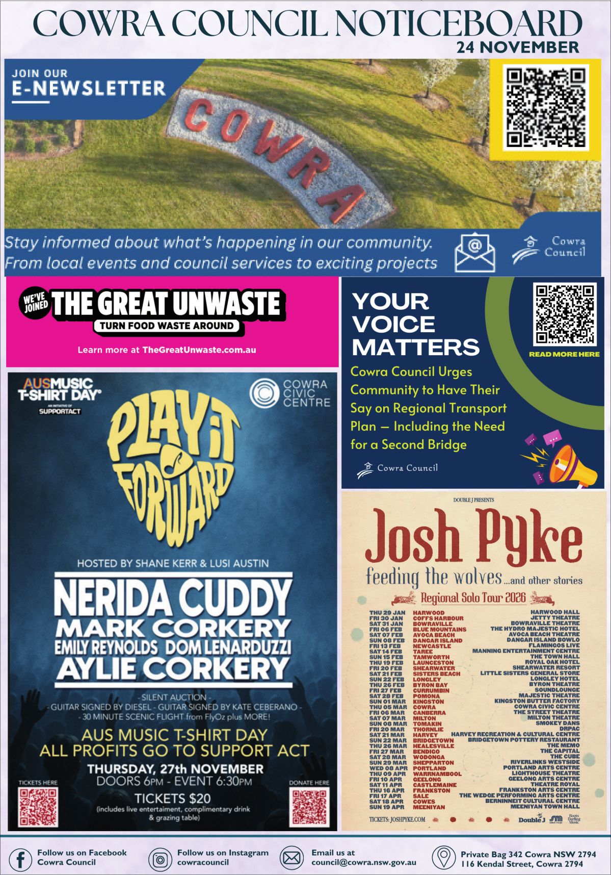
Record Releases From Wyangala Dam But Cowra Bridge To Remain Open

Whilst Wyangala Dam will be releasing more water than it’s ever released before, Cowra Mayor Bill West has confirmed the Cowra Bridge will remain open to traffic, with the Cowra SES to monitor flood levels.
Mr West encouraged locals to remain calm but vigilant after rumours spread on social media on Monday that the main bridge in town would close.
Mr West said the SES was the lead agency in the flood situation and had the jurisdiction on the closure of state roads, with the Cowra Bridge being part of the Mid Western Highway, state route B81.
He said it was important for locals to keep themselves up to date, but from the right sources, after a local emergency management meeting on Monday afternoon determined the bridge could remain open.
“The SES is the lead agency on this, so any advice they provide needs to be taken,” he said.
Following extensive rainfall in its already saturated upstream catchment area on Sunday night, when Cowra itself received a mammoth 80mm of rain, Water NSW confirmed Wyangala Dam would need to release 230 GL of water per day, jumping the previous record of 205 set in 1990.
“After extensive rainfall across its saturated upstream catchment Wyangala Dam exceeded capacity overnight, though the rate of flow from the dam has not exceeded the rate entering the storage [320GL], thereby offering some mitigation to flood peaks generated by downstream tributaries such as the Belubula River,” Water NSW said in a statement.
“Inflows into the dam are expected to peak much higher at 320 GL/day.”
“Prior to the weekend WaterNSW had been able to carefully reduce the Wyangala storage to 95.6% despite the constant rain and inflows, which had already totally 420 GL – or one-third of the dam’s total storage volume – in the first 11 days of November, before the most recent rain event occurred.”
With the potential of major flooding in Cowra due to the releases from the dam, The SES commenced sandbagging and ordered the evacuation of low lying areas of Cowra on Monday, including the Cowra Caravan Park, sports fields alongside the river, the Cowra Aquatic Centre, Taragala Street, Vaux Street, Campbell Street, and parts of West Cowra near the Lachlan River, including the racecourse.
The SES forecasted a peak of 13.8 metres on Monday night or Tuesday morning, exceeding the major flood level of 13.4 metres.
At the time of writing on Monday, road closures in the shire due to flooding included Lachlan Valley Way/Boorowa Rd at Andseron Lane, Canowindra Road between Cowra and Canowindra, Belubula Way, Canowindra (Cherry Tree Falls), Rivers Rd, Canowindra, George Russell Drive, Canowindra, Lachlan Valley Way/Forbes Rd to Gooloogong, Brook Lane, Cowra, Low Level Bridge, Cowra, Davidsons Bridge, Merriganowry, Noonbinna East Rd, and Noonbinna Rd.


Stay Connected
Cowra News to your inbox
Sign up now for the latest news from the Cowra Area direct to your inbox.